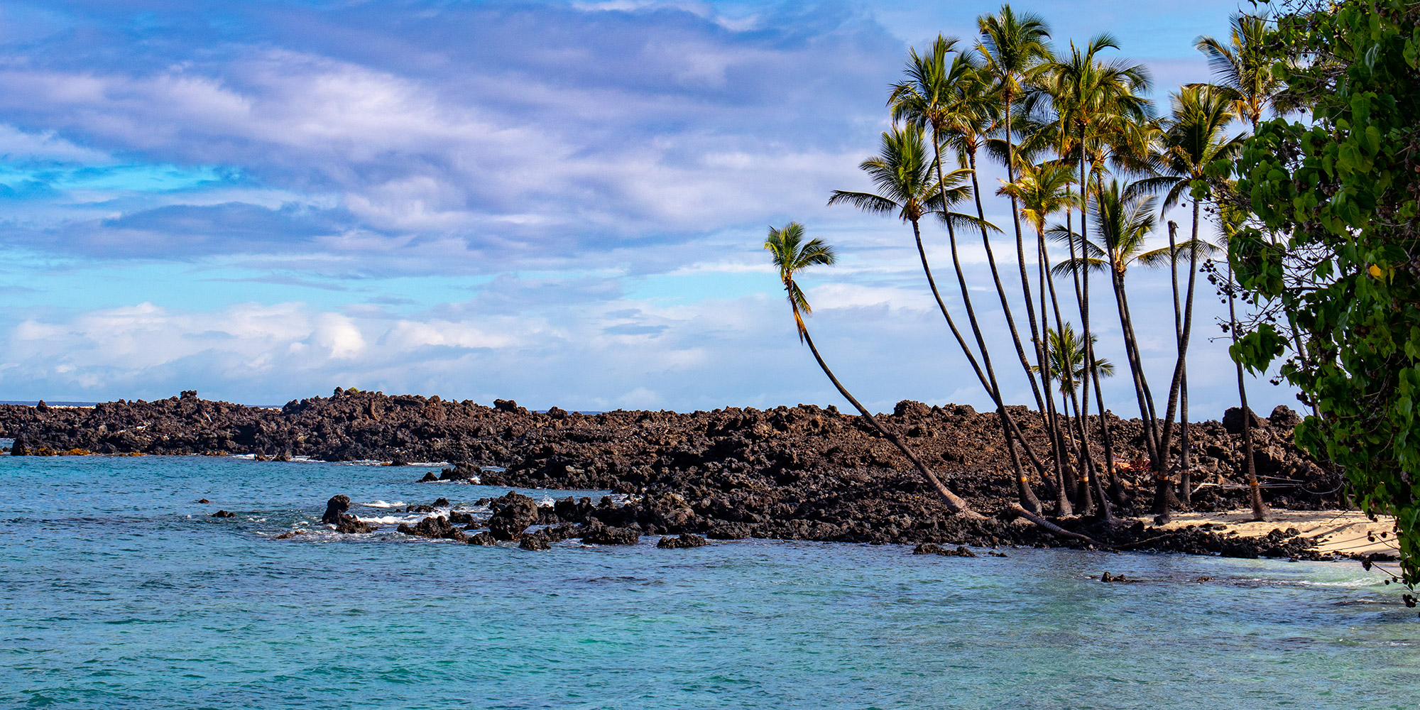

Makalawena is home to some of the most pristine coastal beaches in the Kona region.
It is estimated that Hawai‘i was first settled by Polynesian voyagers as early as AD 300. It was not until around AD 750 to 1000 that settlements on the leeward or west side of the island of Hawai‘i began. These settlements were situated around coastal bays where marine resources were abundant, such as at Makalawena, Ka‘ūpūlehu, Kūki‘o, Mahai‘ula, and Kaulana. For centuries, the land and its resources were traditionally managed by tenants of the land.
Traditionally, this area was the site of a small fishing village whose tenants relied heavily on their fishing and diving skills for their livelihood. In times of clear weather, they were visited by boats from Maui, Waipi‘o, Waimanu, and North Kohala who came to trade pa‘i‘ai (partially pounded poi) for dried fish. They also traded dried fish with their mauka neighbors for goods such mai‘a (bananas), ‘uwala (sweet potato), and kō (sugarcane). The relationship between the people of the mauka and makai regions was especially valuable when storms prevented the lawai‘a (fishermen) of Makalawena from going to sea.
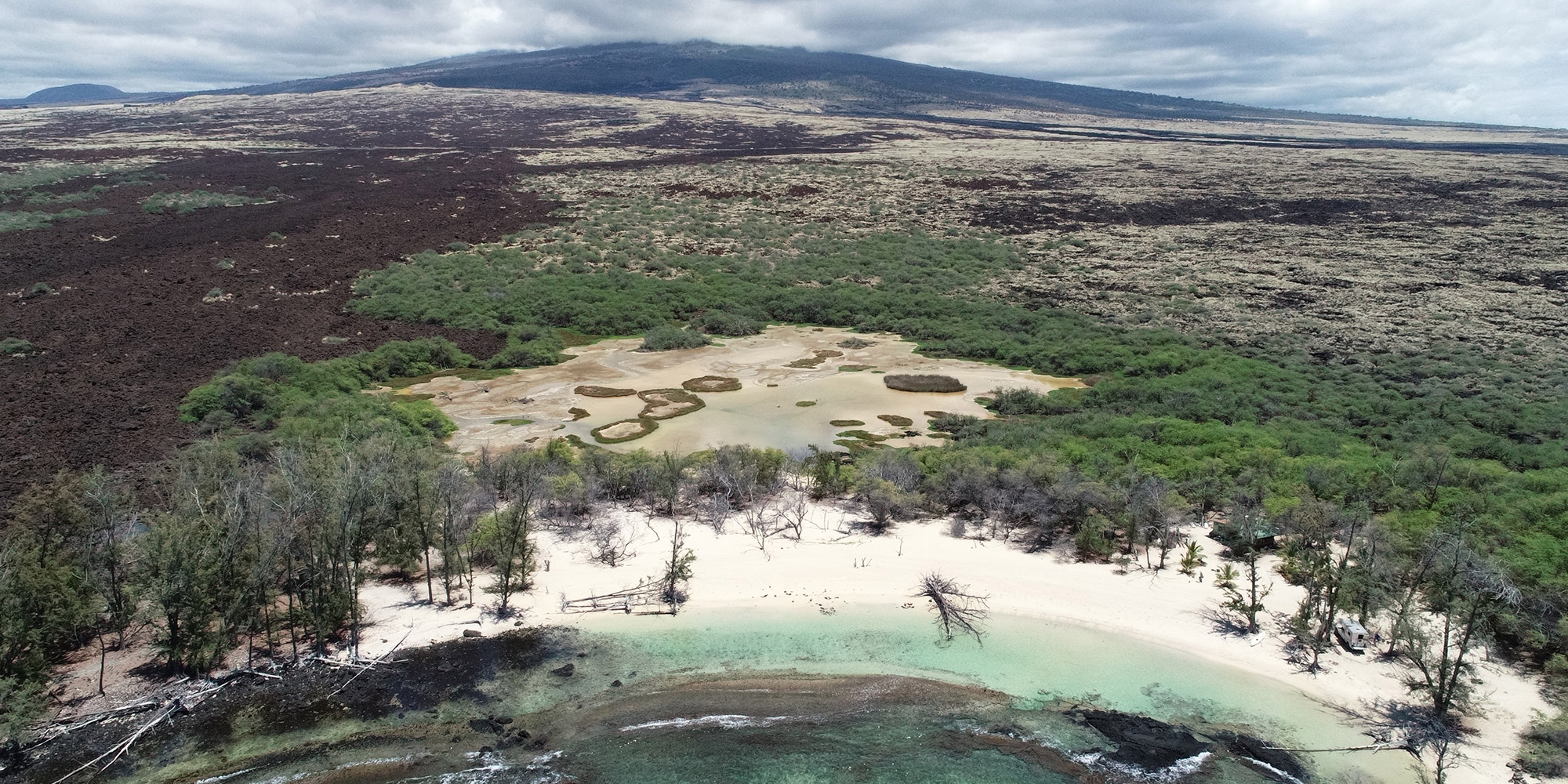
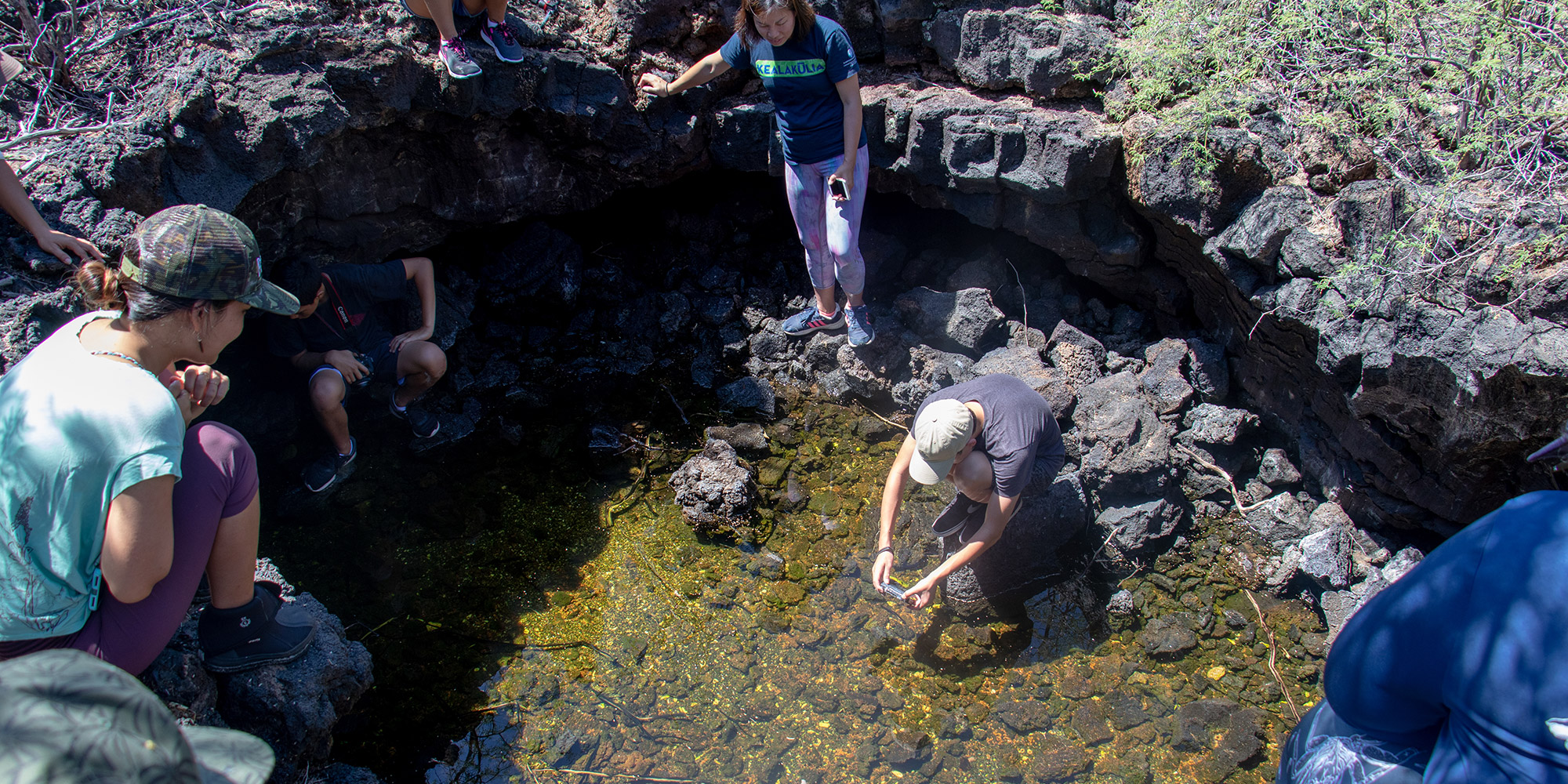
In addition to having their fishing practices delayed by frequent storms, the tenants of Makalawena were also faced with the challenge of limited access to water for drinking and bathing. The area is referred to as Kekaha wai ‘ole o nā Kona, the waterless Kekaha of the Kona district. This is because there were no forms of kahawai (streams or surface water) within Makalawena. Aside from the kai (ocean water), the only other form of water within the region was located in loko ‘ōpae’ula (anchialine pools). These pools are a type of loko wai kai (brackish water shoreline pools) which contain a mix of punawai (spring water) and kai.
Despite the harsh living conditions, the region was very much loved by its inhabitants, who recognized the loko ‘ōpae’ula as special resources. These ponds provided habitats for native species of birds and plants. They also were used as loko i‘a (fishponds) for harvesting ‘ōpae‘ula (Halocaridina rubra) and as holding areas for their catches. Lawai‘a were known to create palu (bait) by mixing mud and ‘ōpae‘ula. When used in their fishing practices, this mixture would result in an abundant harvest of ōpelu (Decapterus macarellus). In fact, the harvests were so abundant that this palu mixture was not to be used south of Keāhole point so as not to pose an unfair advantage over the lawai‘a of southern Kona who did not have access to ‘ōpae’ula.
Makalawena eventually came to be part of KS’ holding through Chiefess ‘Akāhi, a cousin of Bernice Pauahi Bishop, who received Makalawena in the Mahele as Land Commission Award 5638. Between 1850 to 1900, native residents of Makalawena focused on dry land agriculture. By the 1870s, several residents adempted to formalize ranching activities on the Makalawena-Kekaha lands, which they owned outright. In 1886, Hu‘ehu‘e Ranch was established by part-Hawaiian John Avery Maguire.
Over the next 100 years, John Maguire’s descendants and native Hawaiian families of the region worked the land and maintained intimate knowledge of the resources, and love for the land. Specifically, along the coast of Makalawena, an important village, including homes for some ten families, a public school and church were maintained. Kūpuna with generational attachments to residency in Makalawena, and the neighboring Kūki‘o and Ka‘ūpūlehu ahupua‘a describe Makalawena as the "capital" of the Kekaha region (Maly and Maly, 2007).
Although the property continued to be leased by Hu‘ehu‘e Ranch, it was subleased to Annie Punihaole Kealaula. Upon her death in 1963, her interest was passed on to her second husband Fortunado (Porto) Almoduar. His tenure was changed to a right of tenancy by Bishop Estate, but he continued to manage the land as he saw fit until his passing in 1978. Since then, a series of caretakers have provided security at Makalawena for KS.
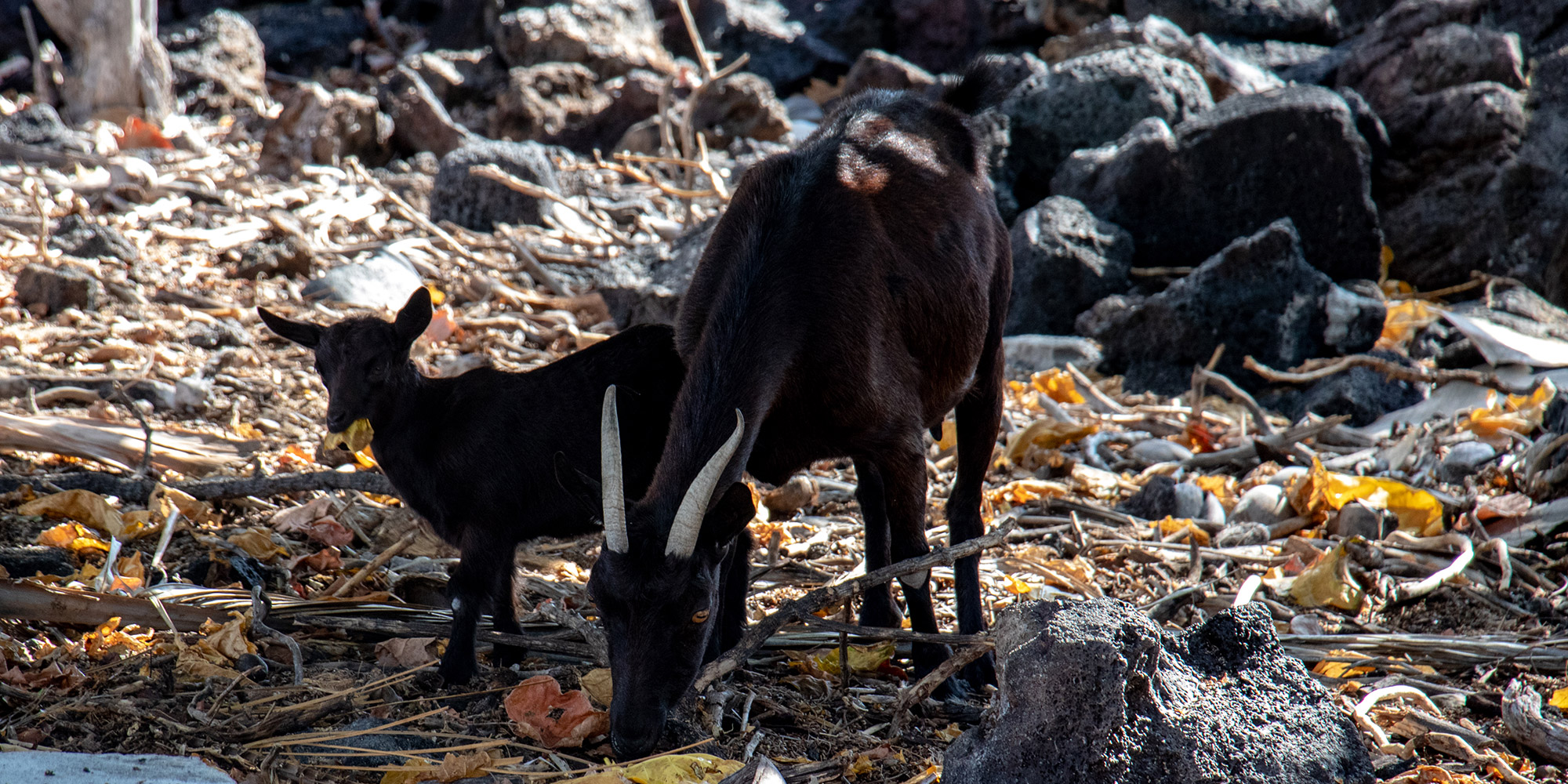
As a part of ‘āina Pauahi, KS cares for the area through land and resource management, including data collection, clearing of debris, controlling mammalian predators and goats, monitoring of the native wildlife and managing possible impacts to wetland, anchialine pools and archaeological resources.
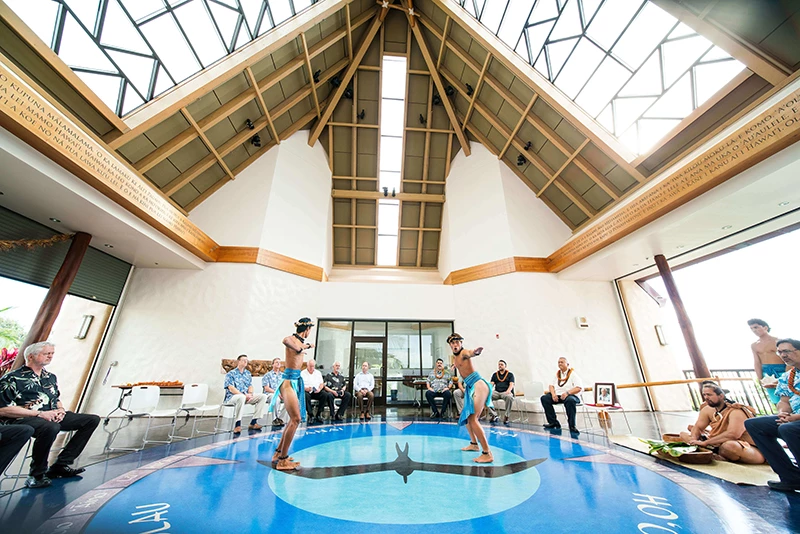
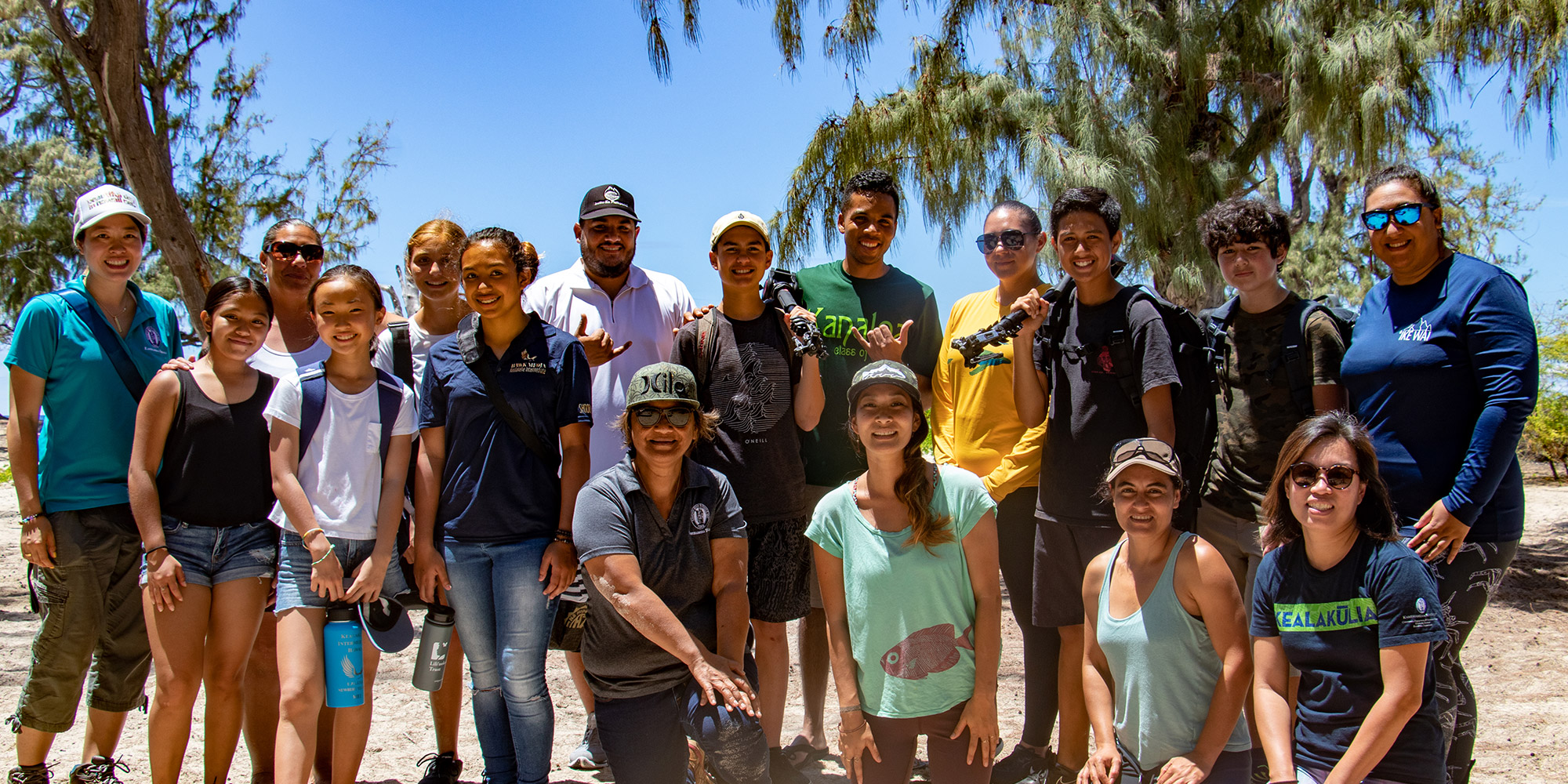
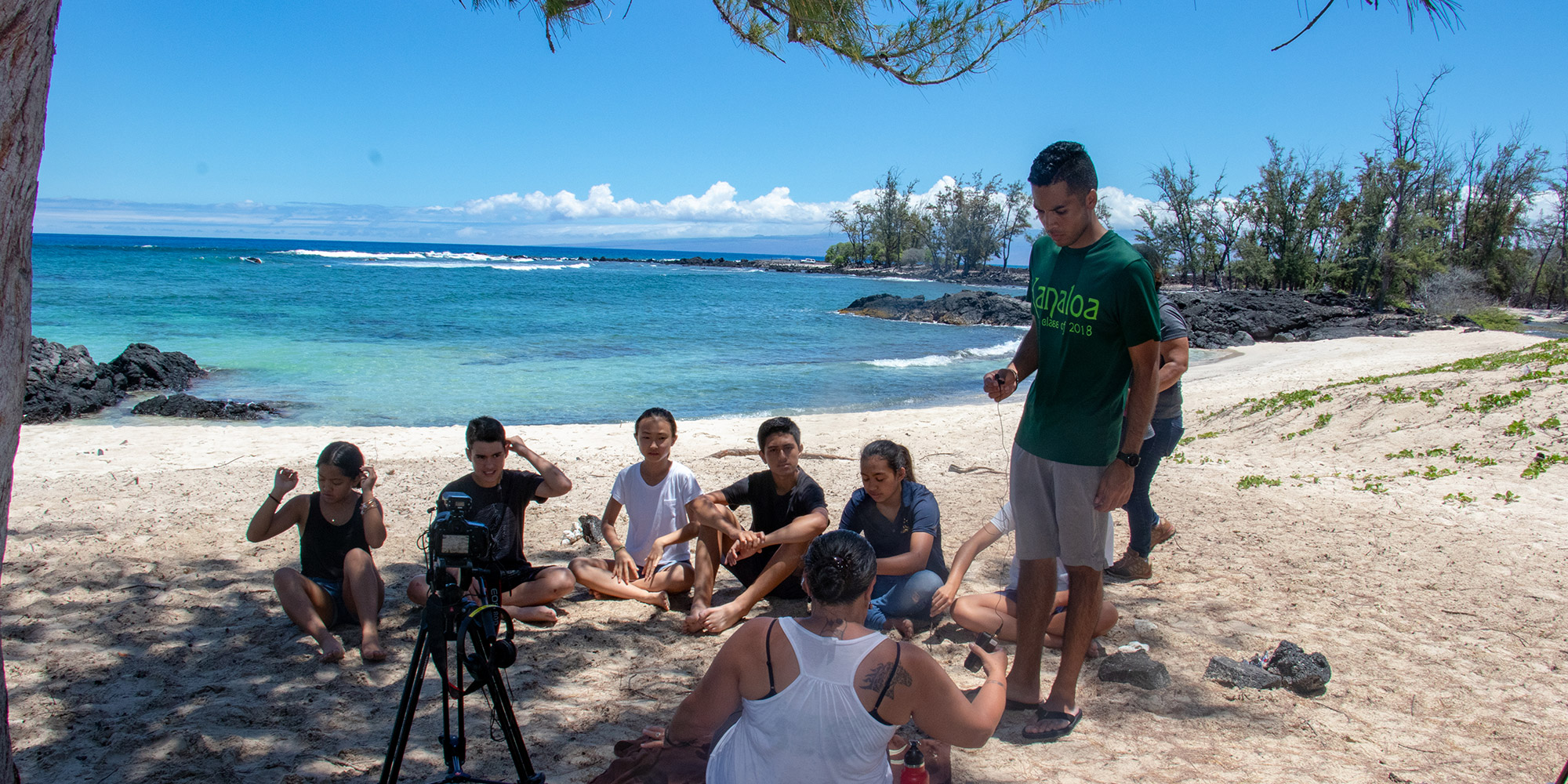
To highlight the environmental and cultural treasures at Makalawena, KS launched a new educational virtual huaka‘i (field trip) to the area in 2019. The virtual huaka‘i combines the mo‘olelo (stories) of our kūpuna with the natural and cultural riches of this unique place. This new educational tool enables students across Hawai‘i and beyond to connect with the ‘āina and explore wahi pana like Makalawena in a way that provides virtual access with minimal impact and in a way they wouldn’t be able to experience otherwise. Embark on a virtual field trip to Makalawena in ‘Ōlelo Hawai‘i or English by clicking here and enrolling as a guest or read more about how this innovative experience came to be.
Learn more about the natural features that characterize Makalawena below.

Kamehameha Schools’ policy is to give preference to applicants of Hawaiian ancestry to the extent permitted by law.