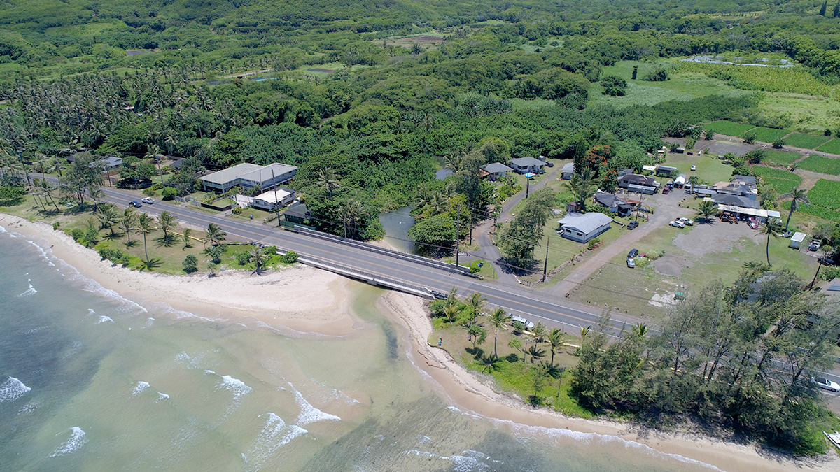
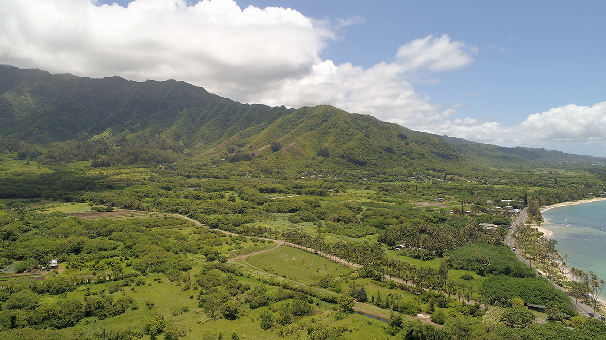
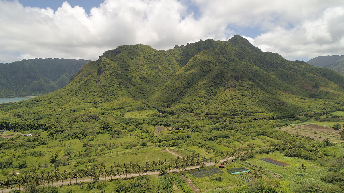
Punalu‘u stream restoration project area toward Kahana
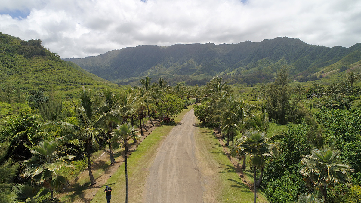
Green Valley Road looking mauka to Punalu‘u Valley
Q: What is the purpose of the Punalu‘u Stream Restoration Project?
A: The primary restoration objective of this project is to develop sustainable flood protection and restore hydrologic processes in the Punalu‘u watershed altered by previous lessees, with a focus on the lower reach of Punalu‘u Stream and its floodway.
Specific objectives of the project include, but are not limited to the:
Ecological restoration of native flora and fauna to a Hawaiian lowland stream;
Continuation of traditional Hawaiian land use compatible with periodic flood inundation;
Provision of improved flood protection and drainage for agricultural tenants and KS facilities;
Stabilization of eroding stream banks and a reduction in sediment discharge to the marine shoreline; and
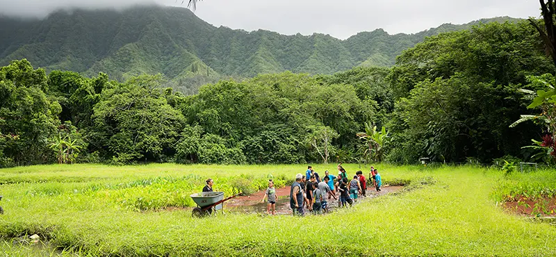
Creation of eco-cultural educational opportunities to learn about sustainable agriculture and ecosystem function.
Q: Why is the Punalu‘u Stream Restoration Project necessary?
A: The Punalu‘u ahupua‘a has been subjected to a range of historical impacts, including water diversions; invasion by non-native stream, plant, and animal life; stream channelization; unprotected stream crossings; land grading and alteration of natural drainage patterns; tillage; livestock grazing; aquaculture; and residential development. Currently, over 50 acres of the lower Punalu‘u Valley have flooded annually. Flooding causes economic hardship and appears to be getting worse, possibly due to sedimentation within the stream. The most recent episode of flooding occurred on July 19, 2014, and damaged roads, properties, fields, and crops.
Q: What does the restoration process for the Punalu‘u stream entail?
A: The comprehensive restoration design would reduce flooding along Punalu‘u Stream using natural materials and methods that:
Augment natural physical processes;
Are aesthetically pleasing;
Are sustainable with little to no maintenance;
Are acceptable to the Punalu‘u community;
And that enhance aquatic and wetland habitats.
Key components of the restoration design are:
Restore a natural valley floodplain and terrace landscape;
Re-designate land uses so that farmers on chronically flooded agricultural lands are relocated to the floodplain margins on elevated terraces;
And create a new stream corridor with a new riparian forest that restores a floodplain connection with Punalu‘u Stream.
Q: Where is the restoration work taking place in Punalu‘u?
A: The project area for the proposed action is defined as approximately 140 acres of land along the lower reaches of the Punalu’u stream and its floodplain within the construction limit of the proposed restoration work.
Q: When is the construction set to begin?
A: Construction is estimated to begin in May 2022 and take 18 to 24 months to complete, bringing the estimated completion date to late 2023 or early 2024.
Q: How will the proposed estuary address issues like flooding?
A: By increasing the overall depth and volume of STREAM/ESTUARY?, the estuary work will help to improve stream function and flow. The design also takes into account a 100-year storm as defined by the Natural Resource Conservation Service (NRCS) in an effort to prevent potential flooding to nearby residents.
Q: What processes are in place to prevent increased erosion and pollution of nearby waterways during construction?
A: We are employing best management practices (BMPs) approved by federal, state, and local permits.
Q: What processes are in place to prevent increased erosion and pollution of nearby waterways after construction is complete?
A: KS will provide post-construction monitoring. The Corps-approved Restoration Monitoring Plan (RMP) states the wetland, estuary, and stream restoration areas will be monitored to ensure that they progress toward and meet required performance standards and success criteria. Qualified biologists and geomorphologists will monitor post-construction conditions using standard, easily reproducible monitoring methods to determine whether post-construction conditions are progressing toward or have met success criteria. In accordance with the RMP, performance monitoring and reporting will be conducted annually for a 5‐year period after the construction phase of the project has been completed.
Q: How will Kamehameha Schools protect water quality in the stream during the Punalu‘u Stream Restoration Project?
A: KS will employ several measures before, during and after construction, including:
Pre-construction monitoring to establish baseline conditions and measure items like temperature, salinity, pH and more.
Daily water quality monitoring during in-water work for construction activities, including the channel crossings, estuary excavation, estuary channel construction, work in Punalu‘u Ditch, and Kahana wetland grading.
Three-time per week water quality monitoring during the construction work involving streambank berm removal and floodplain grading
Post-construction monitoring.
Preparation of a final water quality monitoring report.
Long-term post-construction monitoring – quarterly for two years – including photos of the area.
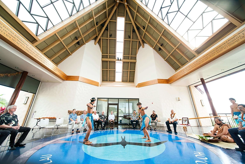
If you have any additional questions, please feel free to email Joey Char at jochar@ksbe.edu.